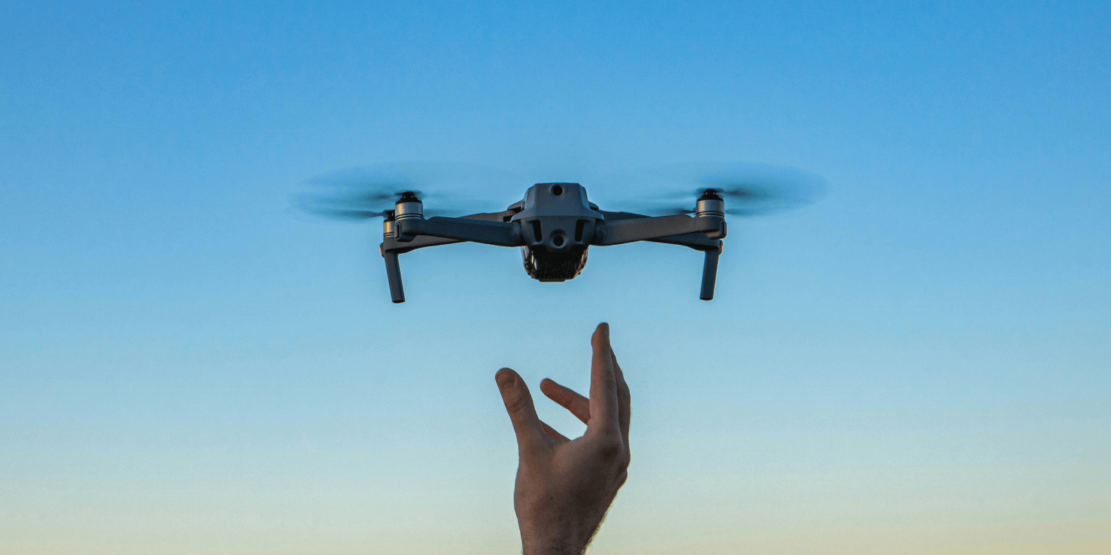
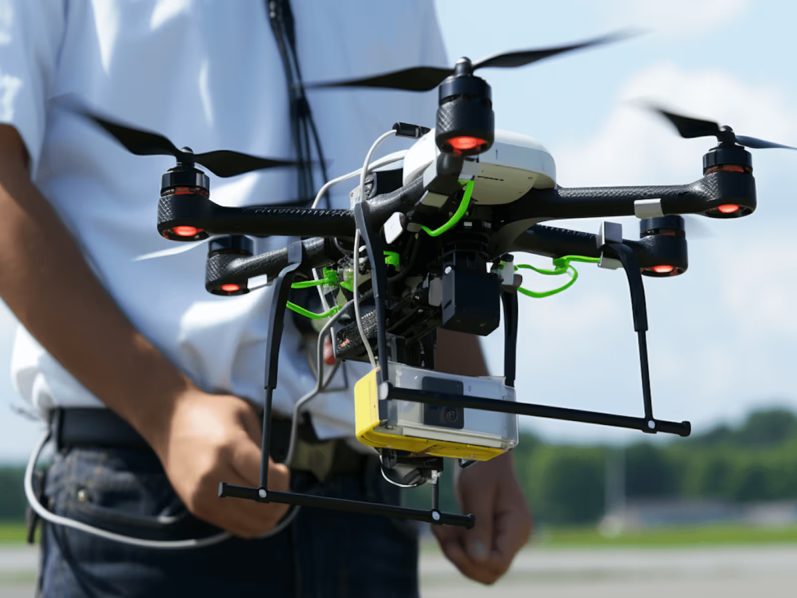
Aerial services
Professional drone services for photography, video, inspection, and documentation projects.
Aerial photography
High-resolution aerial imagery for property, marketing, and documentation.
Clear aerial photographs that showcase locations, monitor progress, and support planning across a range of industries.
Aerial videography
Cinematic aerial footage captured with stability and precision.
Professional drone video that adds movement, scale, and perspective to promotional and documentation projects.

Inspection & Survey
Safe, efficient aerial inspections without costly access equipment.
Drone-based inspections for roofs, structures, and hard-to-reach areas, reducing risk and downtime.
Mapping & Documentation
Accurate aerial data for planning, monitoring, and reporting.
Consistent aerial documentation to support site planning, progress tracking, and long-term records.
What’s included
Included with every aerial service.
How it works
Professional drone services tailored for a wide range of project needs.
3
Capture & deliver
Professional aerial capture with reliable turnaround.
2
Plan the flight
Flight planning, safety checks, and approvals are handled.

1
Request a quote
Share your project details, location, and timeline.

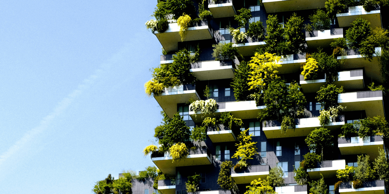
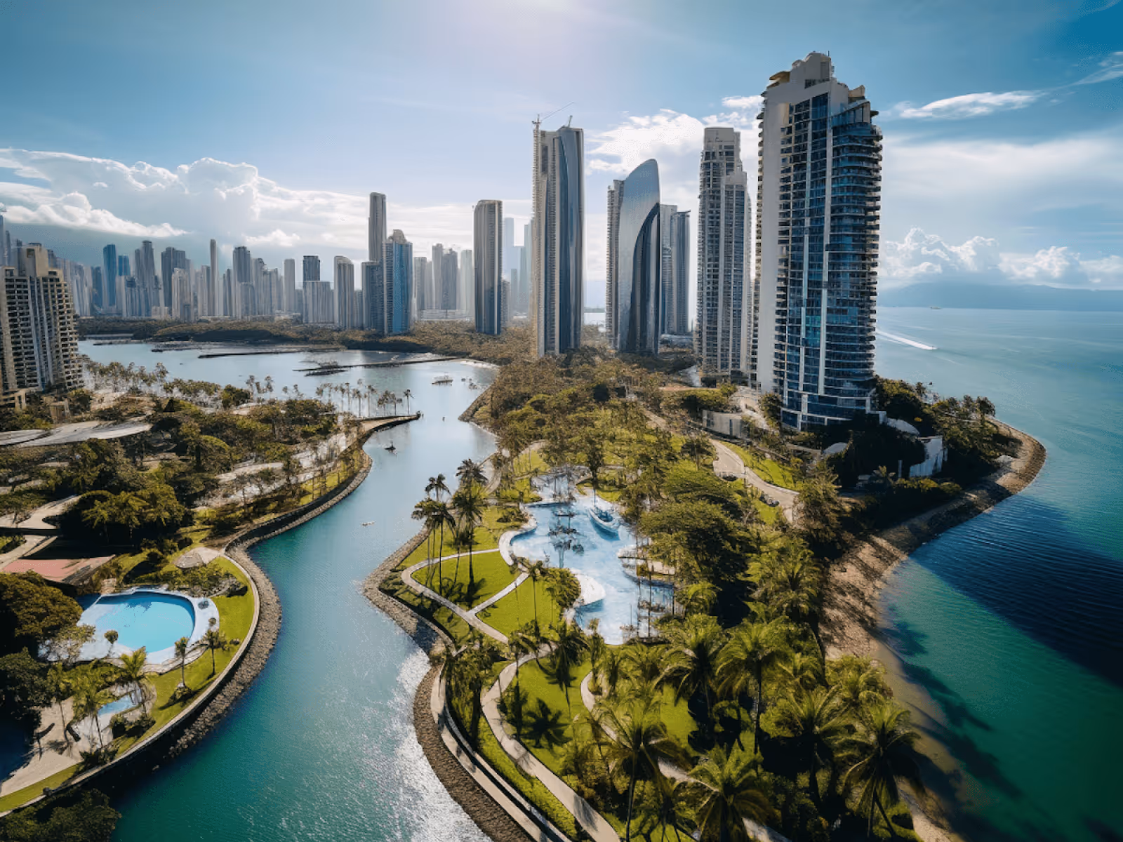
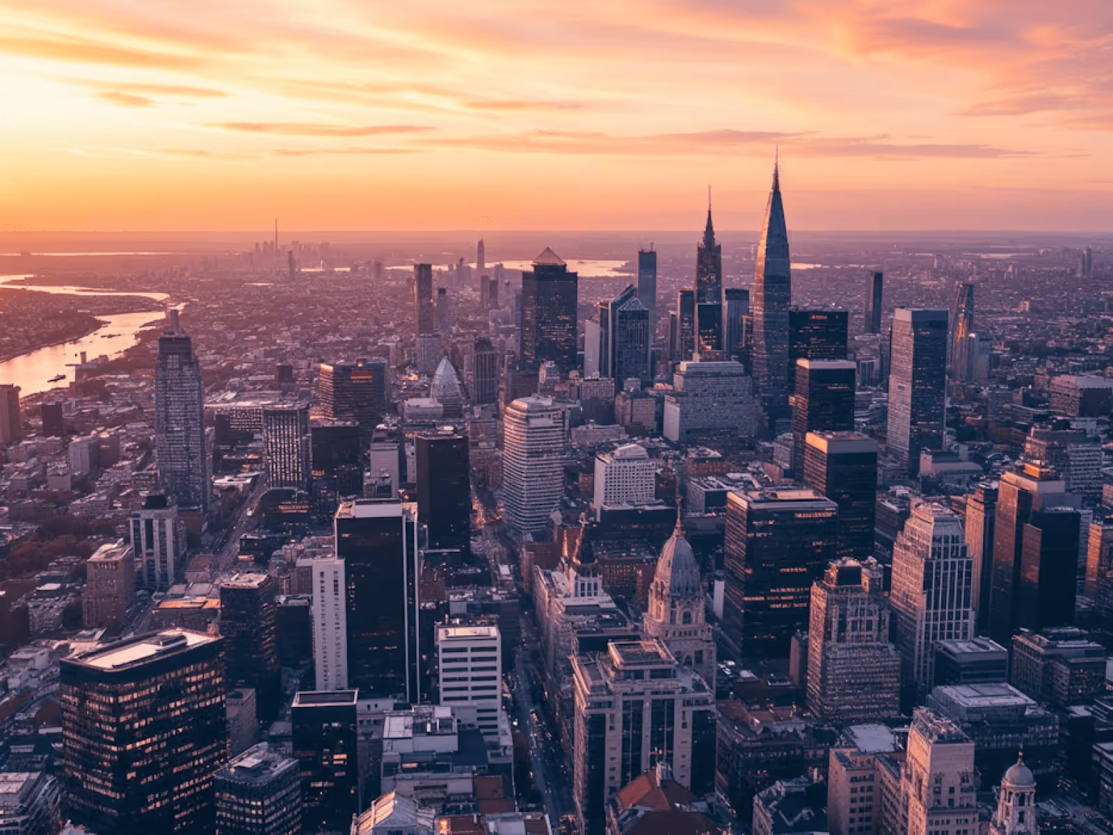
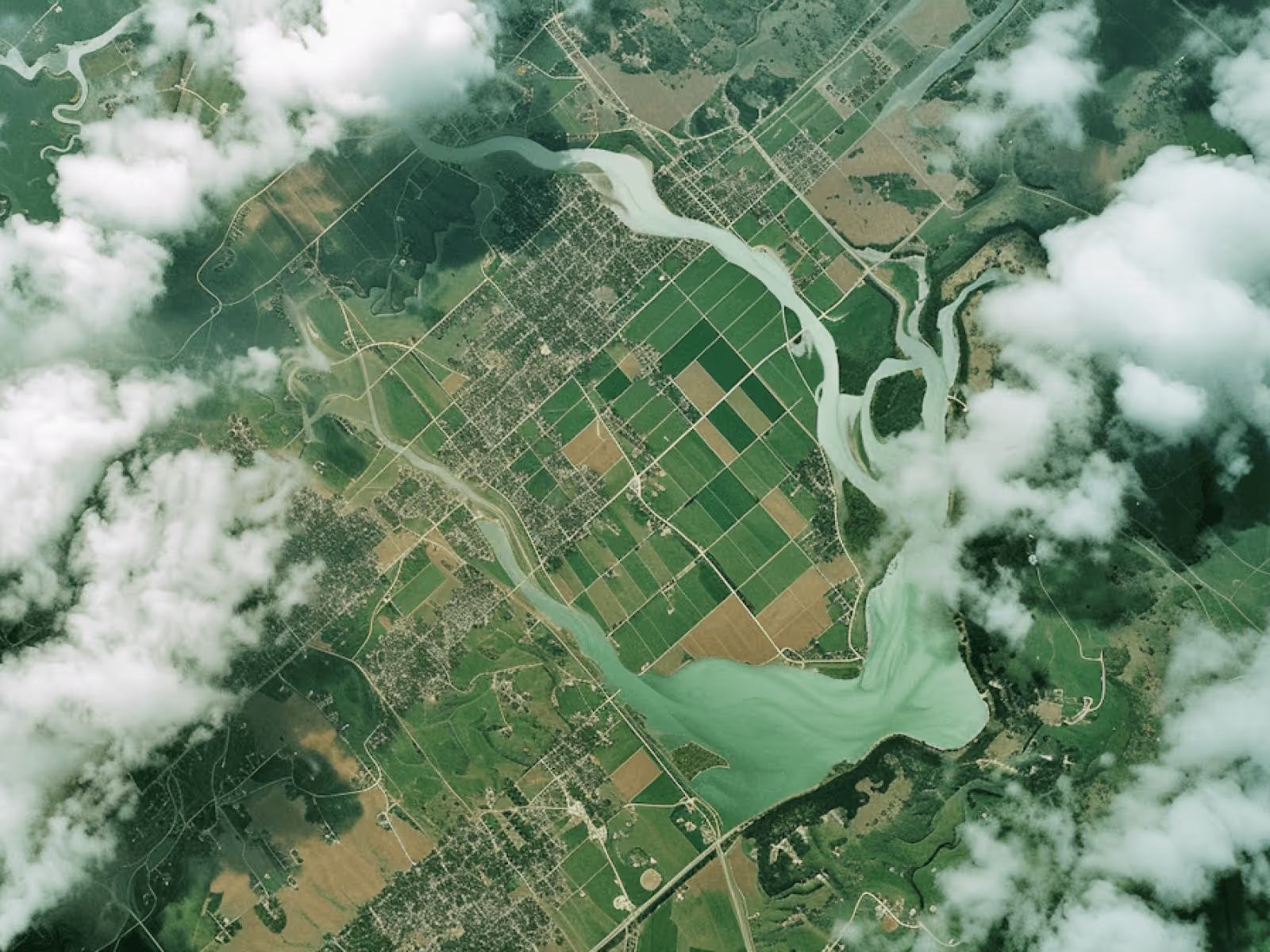
Recent flights
A selection of recent aerial projects captured across different environments and industries.